Project Goal

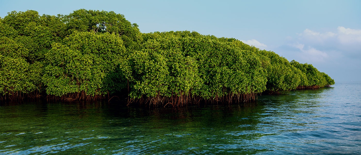
Strengthen the conservation and sustainable use of globally important mangrove forests through effective participatory land-use planning and establishment of marine and coastal protected areas in at least 35% of Liberia’s mangroves.

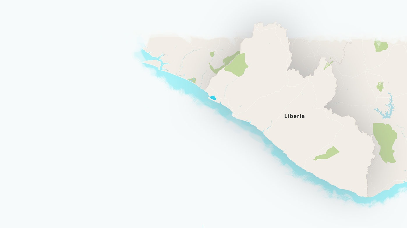
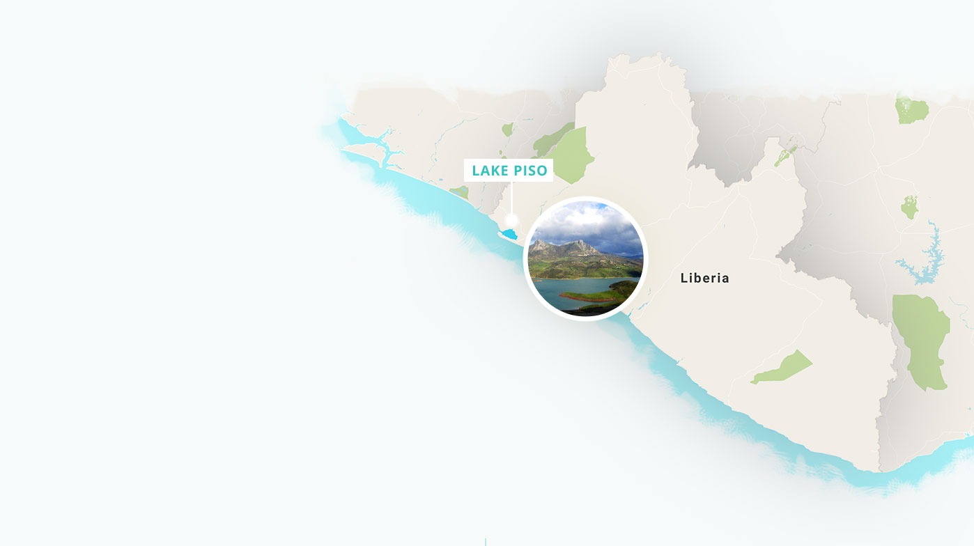
The project aims to provide integrated land-use policies and tools needed to mainstream mangrove forest biodiversity conservation and to secure mangrove forest protected areas that will feed into a longer-term process directed towards the establishment of a Coastal and Marine Protected Area Network in Liberia. Currently efforts are being focused on the mangrove areas along the Northern coast of the country, due to issues with access to the mangroves along the southern coast (Lake Piso, Measurado, Marshal and Buchanan). However, lessons learned and the successful implementation of this project in the north will catalyze efforts to expand the program in the coming years.

20% of priority mangrove areas have been identified, delineated, and management plan to safeguard them completed.

Priority Mangrove forest land-use planning integrated and mainstreamed in the wider landscape and subjected to 5-year M&E program for adaptive management.

No further deforestation within the 15% of priority mangroves a nd surrounding buffer areas through addressing drivers of deforestation and improving people’s livelihoods.

PROGRESS TO DATE

We are about 1 year into the three-year grant. Consultants have been hired to support land-use planning and protected area management in key mangrove areas in Northern Liberia.

This includes developing a protected area management plan and a land-use planning support tool.

235 MINISTRY, COUNTY AND COMMUNITY STAKEHOLDERS HAVE BEEN CONSULTED.

Results from those consultations are providing necessary information and next steps for improving and expanding the Lake Piso protected area, gazetting a new protected area in Marshal, and developing advocacy and education material on mangroves to be shared broadly.

A workshop was held in early May (Jen Howard from HQ attended) where community members gathered to go through the steps of land-use planning and community based land-use mapping.

The workshop went well and the contractors are moving along, though issues to date include problems with some community surveys not being stringent enough to be included in the final analysis. This may mean that rather than developing a “tool”, a set of guidance and recommendations for land-use planning will be created instead.

Develop conservation agreements with communities to protect mangroves lying outside of government protected areas.

Expand terrestrial natural capital mapping to include mangrove systems.

Integrate carbon into the protected area management structure as a potential source of long-term finance for the PA Network.

More Resources